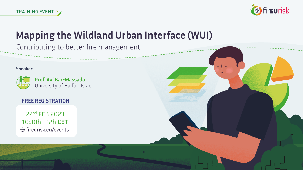
Training event: Mapping the Wildland Urban Interface (WUI)

The Wildland Urban Areas (WUI) where human settlements border with patches of flammable vegetation make up interfaces exposed to high wildland fire risk. In the past two decades, considerable effort has been made in identifying these high-risk locations, following different mapping approaches and concepts. In this webinar, hosted by Prof. Avi Bar-Massada from the University of Haifa, Israel, attendees will learn the current state-of-the-art in WUI mapping, discussing the rationale behind different mapping approaches, the pros-and-cons of each strategy and its data requirements. Participants will view an example of mapping the WUI in a single demonstration region and acquire knowledge to create WUI maps for their region of interest, so that they can contribute to better fire management and policies aimed at reducing fire risk to human lives and property.
This training will take place on February the 22nd and is intended for graduate and PhD students, researchers, and other actors involved in wildfire risk management. For more information you can check the details on the training agenda. If you’re interested in attending, please complete the registration form. The deadline closes on February the 16th.
